|
||||
| ქართული ვერსია |
|
|||
 |
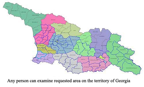
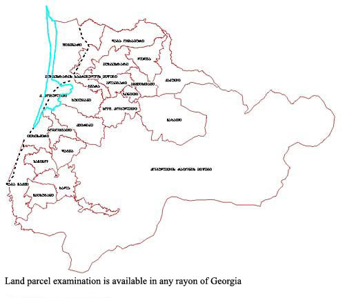
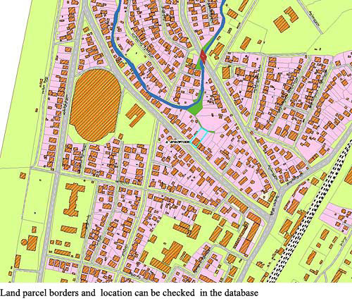
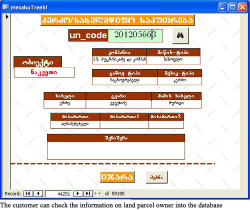
Visual Examination of Cadastral Geo-information DatabasesAPLR offers any interested person visual examination of requested areas/facilities in the digital cadastral databases. Services include examination of land parcel and adjoining territories into the database using cadastral maps and aerial/satellite images, as well as analyses and consultation by the qualified specialist.
|
|||
|
APLR Head Office in Tbilisi Copyright © 2006, Association of Professionals on Land and Realty |
||||